Schlagwort-Archive: Rothorn

Melchsee-Frutt – Hochstollen – Glogghüs – Rothorn – Balmeregghorn

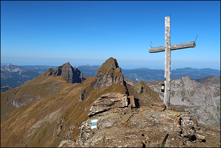
Gesamtstrecke: 14915 m
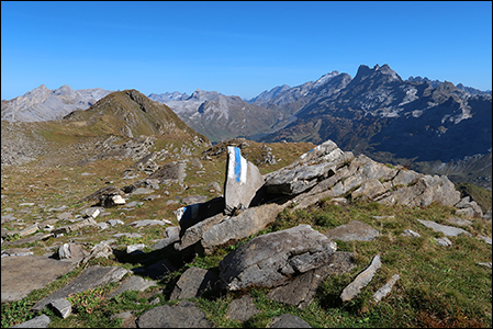
Maximale Höhe: 2496 m
Gesamtanstieg: 1165 m
Gesamtabstieg: -1165 m
Gesamtzeit: 04:57:16
Download file: 2023-10-11-Glogghüs.gpx

Giw – Gibidum – Gibidumpass – Rothorn – Sitestafel – Rüspeck

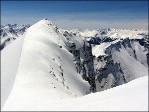
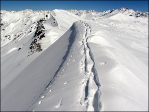
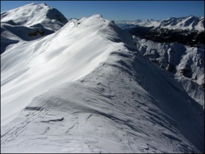
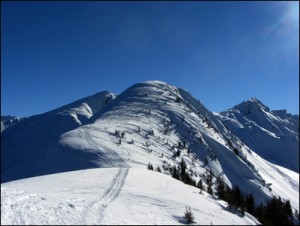
Auf Gibidum stürmt es und es wird nicht besser. Eisige Fotomotive Tolles Panorama: Das Bietschhorn im Norden. Monte Leone, Breithorn im Osten, Fleschhorn, Dom, Matterhorn im Süden. Weisshorn, Augstbordhorn im Westen.
Bei Punkt 2611 über dem Sitestafel bläst es mit 80-100 km.  50 Meter unter dem Grat ist der Wind weg… Ein stürmisch Tour.

Gesamtstrecke: 13462 m
Maximale Höhe: 2588 m
Gesamtanstieg: 902 m
Gesamtabstieg: -895 m
Gesamtzeit: 05:11:20
Download file: 2019-02-12_Gibidum_Visperterminen.gpx

Visperterminen – Brunnu – Rothorn – Punkt 2611 – Gibidumsee – Gibidumpass – Giw – Chrizji

Gesamtstrecke: 18632 m
Maximale Höhe: 2588 m
Gesamtanstieg: 1295 m
Gesamtabstieg: -1329 m
Gesamtzeit: 06:27:50
Download file: 2017-01-16-Visperterminen-Gibidum.gpx

Furna – Chäseggen – Rothorn – Hochwang – Ratoser Stein – Bleis – Bim Turra

2016-04-20

IMG_3248 IMG_3266

Gesamtstrecke: 16518 m
Maximale Höhe: 2505 m
Gesamtanstieg: 1462 m
Gesamtabstieg: -1615 m
Gesamtzeit: 07:30:46
Download file: 2016-04-20-Furna-Schanfig.gpx

Furner Berg – Fadeuer – Rothorn – Furna

2015-02-19

IMG_5725furna IMG_5739furna

Gesamtstrecke: 14844 m
Maximale Höhe: 2333 m
Gesamtanstieg: 974 m
Gesamtabstieg: -1330 m
Gesamtzeit: 05:20:41
Download file: 2015-02-19_Rothorn_Furna.gpx