
Archiv für den Monat: April 2015

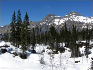
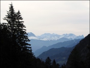
Muotathal – Bödmerenwald – Gross Band
2015-04-24
Gesamtstrecke: 17722 m
Maximale Höhe: 1574 m
Gesamtanstieg: 1207 m
Gesamtabstieg: -1183 m
Gesamtzeit: 07:12:20
Download file: 2015-04-24 Bödmerenwald.gpx
Maximale Höhe: 1574 m
Gesamtanstieg: 1207 m
Gesamtabstieg: -1183 m
Gesamtzeit: 07:12:20
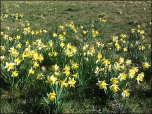
Crête des Boveresses
2015-04-23

Gesamtstrecke: 15508 m
Maximale Höhe: 1286 m
Gesamtanstieg: 774 m
Gesamtabstieg: -750 m
Gesamtzeit: 04:33:04
Download file: 2015-04-23 Crête des Boveresses.gpx
Maximale Höhe: 1286 m
Gesamtanstieg: 774 m
Gesamtabstieg: -750 m
Gesamtzeit: 04:33:04
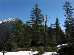
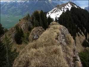
Alpnach – Chrützliegg – Gfellen
2015-04-21
Gesamtstrecke: 17031 m
Maximale Höhe: 1670 m
Gesamtanstieg: 1372 m
Gesamtabstieg: -814 m
Gesamtzeit: 09:32:41
Download file: 2015-04-21 Chrützliegg NW-LU.gpx
Maximale Höhe: 1670 m
Gesamtanstieg: 1372 m
Gesamtabstieg: -814 m
Gesamtzeit: 09:32:41
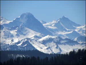
Morgenholz – Rossweidhöchi – Siebnen
2015-04-16
Gesamtstrecke: 22286 m
Maximale Höhe: 1630 m
Gesamtanstieg: 1060 m
Gesamtabstieg: -1613 m
Gesamtzeit: 08:29:13
Download file: 2015-04-16 Planggenstock.gpx
Maximale Höhe: 1630 m
Gesamtanstieg: 1060 m
Gesamtabstieg: -1613 m
Gesamtzeit: 08:29:13
Arvenbuehl – Vordere Höhe – Heumooserhöhe – Stein
2015-04-14


Gesamtstrecke: 17393 m
Maximale Höhe: 1507 m
Gesamtanstieg: 884 m
Gesamtabstieg: -1310 m
Gesamtzeit: 08:21:59
Download file: 2015-04-14 Arvenbühl-Stein SG.gpx
Maximale Höhe: 1507 m
Gesamtanstieg: 884 m
Gesamtabstieg: -1310 m
Gesamtzeit: 08:21:59