Schlagwort-Archive: Piemont

Airolo – Posso del Corno – Passo del Gries – Scatta Minoia – Passo di Nefelgiu – Albrunpass – Binn

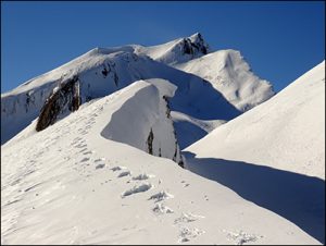
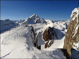
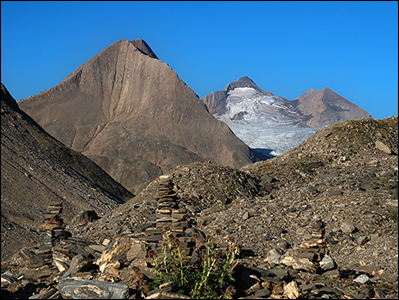
Airolo – Pesciüm – Val Bedretto – Alpe di Ruino – Alpe Cristallina – Alpe di Folcra – Alpe Valleggia – Alpe Formazzora – San Giacomo – Capanna Corno Gries

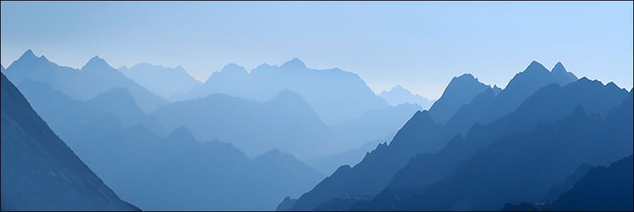
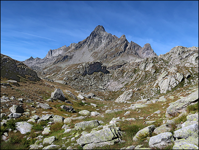
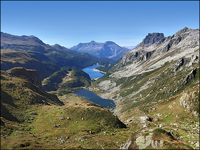
Val Corno – Posso del Corno – Griessee – Passo del Gries – Logo di Morasco – Passo di Nefelgiu – Alpe Vannino – Lago di Vannino

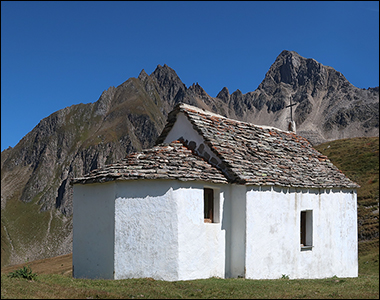
Rifugio Margaroli – Scatta Minoia – Valle Devero – Albrunpass – Bocchetta di Arbola – Binntalhütte – Halsesee – Binn

Gesamtstrecke: 58696 m
Maximale Höhe: 2593 m
Gesamtanstieg: 3369 m
Gesamtabstieg: -3689 m
Gesamtzeit: 18:58:56
Download file: 2022-08-22-Airolo-Binn.gpx

Mattmark – Distelalp – Inner Boden – Uf de Galkernen – Boccetta di Galkerne – Monte Moro (2984m) – Monte Moro Gletschersee – Tälliboden – Mattmark via Seeflüe

Gesamtstrecke: 15549 m
Maximale Höhe: 2961 m
Gesamtanstieg: 1180 m
Gesamtabstieg: -1179 m
Gesamtzeit: 05:01:48
Download file: 2019-08-08_Mattmark-Moro.gpx  – Tourbericht

Mattmark – Ofental – Jazzilücke – Passo di Cingion – Antronapass – Passo di Saas – Börter – Furggtälli – Heitbodme


Gesamtstrecke: 17025 m
Maximale Höhe: 3080 m
Gesamtanstieg: 1184 m
Gesamtabstieg: -1067 m
Gesamtzeit: 05:05:54
Download file: 2018-09-05 Jazzilucke.gpx

Binn – Mässenalp – Furggulti – Zantmärjelebiel – Mässersee – Zantmärjelebielsee – Züesee – Geisspfadsee – Geisspfad – Passo della Rossa – Maniboden – Englischbach – Binntal

Gesamtstrecke: 19436 m
Maximale Höhe: 2479 m
Gesamtanstieg: 1364 m
Gesamtabstieg: -1364 m
Gesamtzeit: 06:47:49
Download file: 2018-08-27 Binn-Geisspfadsee.gpx

All’Aqua – Passo San Giacomo – Helgenhorn – Punta di Elgio

Viel Sonne, Wind  und Schnee. Schneedecke bis zur Schranke in All’Aqua. Nach steilem Aufstieg die ganze Tour auf der Sonnenseite. Langgezogen über den Grat der Grenze entlang bis zum letzten steileren Stück Richtung Gipfel. Starke Windböen 50-80 km/h, aber angenehme Temperatur um 0 Grad. 

dsc07330 dsc07295

Gesamtstrecke: 16029 m
Maximale Höhe: 2801 m
Gesamtanstieg: 1314 m
Gesamtabstieg: -1314 m
Gesamtzeit: 06:06:37
Download file: 2016-12-02-Helgenhorn.gpx