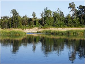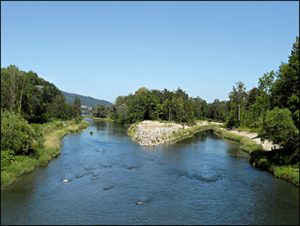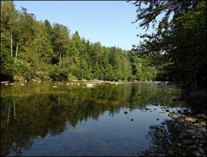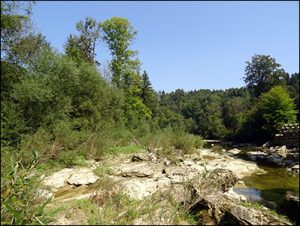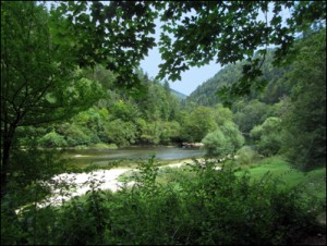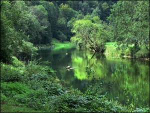

 Heute unterwegs mit Begleitung im sommerlichen Verzascatal. Am Anfang ruhig und eher frisch. Sonnig und sehr belebt in der Nähe von Lavertezzo. Weiter der gut mit glasklarem Wasser gefüllten Verzasca entlang. Das Tal ist heute so gut besucht wie ich es noch nie gesehen habe. Ein Abstecher in die Höhe abseits vom Hauptweg bringt Ruhe. Es lohnender Abstecher! Zum Abschluss etwas Steinhüpfen im Gebiet Ganna und ein Bierchen in Brione Piee.
Gesamtstrecke: 9841 m
Maximale Höhe: 794 m
Gesamtanstieg: 602 m
Gesamtabstieg: -361 m
Gesamtzeit: 03:02:57
Download file: 2021-08-18-Verzascatal.gpx
Maximale Höhe: 794 m
Gesamtanstieg: 602 m
Gesamtabstieg: -361 m
Gesamtzeit: 03:02:57