 Gesamtstrecke: 15596 mDownload file: 2021-10-15-Dalpe.gpx
Maximale Höhe: 2472 m
Gesamtanstieg: 791 m
Gesamtabstieg: -1429 m
Gesamtzeit: 05:06:13
Schlagwort-Archive: Lago Tremorgio
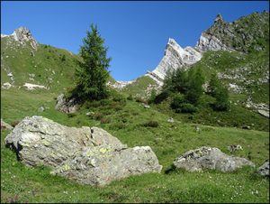
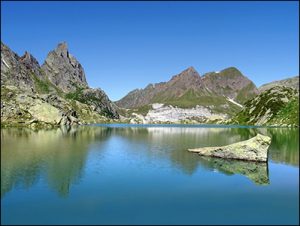
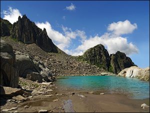
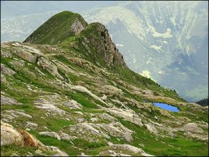
Lago Tremorgio – Laghetto Campolungo – Lago di Morghirolo – Alpe Zaria – Passo Campolungo – Tremorggio
Sehr schöne Landschaft um die zahlreichen Seen.
Die blau-weisse Route Lago di Morghirolo – Alpe Zaria – Passo Campolungo, ist nur markiert – kein Weg – keine Spur – teilweise sehr steil – durchgehend streng – häufig über Blockstein.
Gesamtstrecke: 16468 m
Maximale Höhe: 2581 m
Gesamtanstieg: 1504 m
Gesamtabstieg: -1504 m
Gesamtzeit: 08:03:26
Download file: 2017-07-03 Rodi Lago Di Morghirolo.gpx
Maximale Höhe: 2581 m
Gesamtanstieg: 1504 m
Gesamtabstieg: -1504 m
Gesamtzeit: 08:03:26
Pesciüm – Lago di Ravina – Lago di Prato – Garzonera – Lago di Cara – Valle dei Cani – Campolungo – Lago Tremorgio
Gesamtstrecke: 18382 m
Maximale Höhe: 2541 m
Gesamtanstieg: 1450 m
Gesamtabstieg: -1329 m
Gesamtzeit: 06:35:10
Download file: 2016-08-10-Airolo-Rodi.gpx
Maximale Höhe: 2541 m
Gesamtanstieg: 1450 m
Gesamtabstieg: -1329 m
Gesamtzeit: 06:35:10