 Gesamtstrecke: 21760 mDownload file: 2021-10-20-Winterthur-Eglisau.gpx
Maximale Höhe: 433 m
Gesamtanstieg: 204 m
Gesamtabstieg: -248 m
Gesamtzeit: 05:33:20
Schlagwort-Archive: Freienstein
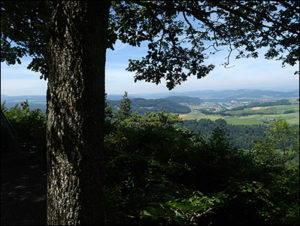
Winterthur Töss – Wülflingen – Pfungen – Blindensteg – Freienstein – Rorbas – Tössegg – Peterboden – Embrach


Gesamtstrecke: 25125 m
Maximale Höhe: 537 m
Gesamtanstieg: 429 m
Gesamtabstieg: -439 m
Gesamtzeit: 05:01:22
Download file: 2021-10-13-Winterthur-Embrach.gpx
Maximale Höhe: 537 m
Gesamtanstieg: 429 m
Gesamtabstieg: -439 m
Gesamtzeit: 05:01:22
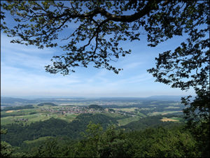
Zürcher Unterland


Ein paar Wanderung im Zürcher Unterland.
Gesamtstrecke: 10346 m
Maximale Höhe: 510 m
Gesamtanstieg: 257 m
Gesamtabstieg: -257 m
Gesamtzeit: 02:34:56
Download file: 2020-05-01-Pfungen.gpxMaximale Höhe: 510 m
Gesamtanstieg: 257 m
Gesamtabstieg: -257 m
Gesamtzeit: 02:34:56
Gesamtstrecke: 8823 m
Maximale Höhe: 595 m
Gesamtanstieg: 307 m
Gesamtabstieg: -307 m
Gesamtzeit: 02:12:50
Download file: 2020-04-29-Buliberg.gpxMaximale Höhe: 595 m
Gesamtanstieg: 307 m
Gesamtabstieg: -307 m
Gesamtzeit: 02:12:50
Gesamtstrecke: 10798 m
Maximale Höhe: 450 m
Gesamtanstieg: 294 m
Gesamtabstieg: -294 m
Gesamtzeit: 02:44:09
Download file: 2020-04-03_Blindensteg.gpxMaximale Höhe: 450 m
Gesamtanstieg: 294 m
Gesamtabstieg: -294 m
Gesamtzeit: 02:44:09
Gesamtstrecke: 8231 m
Maximale Höhe: 444 m
Gesamtanstieg: 116 m
Gesamtabstieg: -116 m
Gesamtzeit: 02:01:04
Download file: 2020-04-27-Au-Toess.gpxMaximale Höhe: 444 m
Gesamtanstieg: 116 m
Gesamtabstieg: -116 m
Gesamtzeit: 02:01:04
Gesamtstrecke: 11822 m
Maximale Höhe: 425 m
Gesamtanstieg: 201 m
Gesamtabstieg: -230 m
Gesamtzeit: 03:13:43
Download file: 2020-04-26-Embrach-Eglisau.gpxMaximale Höhe: 425 m
Gesamtanstieg: 201 m
Gesamtabstieg: -230 m
Gesamtzeit: 03:13:43
Gesamtstrecke: 5787 m
Maximale Höhe: 594 m
Gesamtanstieg: 223 m
Gesamtabstieg: -222 m
Gesamtzeit: 01:24:21
Download file: 2020-04-25-Tisch.gpxMaximale Höhe: 594 m
Gesamtanstieg: 223 m
Gesamtabstieg: -222 m
Gesamtzeit: 01:24:21
Gesamtstrecke: 5958 m
Maximale Höhe: 446 m
Gesamtanstieg: 111 m
Gesamtabstieg: -111 m
Gesamtzeit: 01:34:30
Download file: 2020-04-19-Embrach-Toessschlucht.gpx
Maximale Höhe: 446 m
Gesamtanstieg: 111 m
Gesamtabstieg: -111 m
Gesamtzeit: 01:34:30


Embrach im März
WP GPX Maps Fehler: GPX-Datei nicht gefunden! /home/ch26788/web/salzmaenner.ch/public_html/wordpress/wp-content/uploads/gpx/2020-03-21-Irchel.gpx
Download file: 2020-03-21-Irchel.gpx


Gesamtstrecke: 14337 m
Maximale Höhe: 538 m
Gesamtanstieg: 391 m
Gesamtabstieg: -392 m
Gesamtzeit: 04:08:58
Download file: 2020-03-20-Embrach-Nussbaumen.gpxMaximale Höhe: 538 m
Gesamtanstieg: 391 m
Gesamtabstieg: -392 m
Gesamtzeit: 04:08:58
Gesamtstrecke: 16139 m
Maximale Höhe: 663 m
Gesamtanstieg: 572 m
Gesamtabstieg: -635 m
Gesamtzeit: 05:37:24
Download file: 2020-03-19-Irchel.gpxMaximale Höhe: 663 m
Gesamtanstieg: 572 m
Gesamtabstieg: -635 m
Gesamtzeit: 05:37:24
Gesamtstrecke: 3244 m
Maximale Höhe: 431 m
Gesamtanstieg: 23 m
Gesamtabstieg: -23 m
Gesamtzeit: 00:47:53
Download file: 2020-02-29_Embrach.gpx
Maximale Höhe: 431 m
Gesamtanstieg: 23 m
Gesamtabstieg: -23 m
Gesamtzeit: 00:47:53
Dreispitz – Guldenberg – Sonnenberg – Mettmenstetten – Warpel – Illingen – Rorbas – Freienstein – Haumühle – Embrach

Gesamtstrecke: 23739 m
Maximale Höhe: 649 m
Gesamtanstieg: 578 m
Gesamtabstieg: -578 m
Gesamtzeit: 06:07:17
Download file: 2019-11-19-Embrachertal.gpx
Maximale Höhe: 649 m
Gesamtanstieg: 578 m
Gesamtabstieg: -578 m
Gesamtzeit: 06:07:17
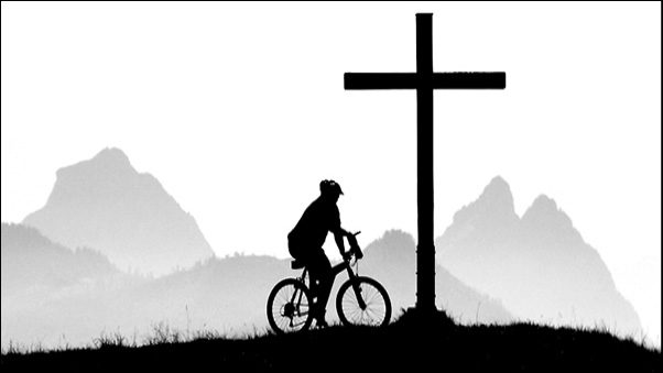
MTB – Rund ums Embrachertal
Gesamtstrecke: 52232 m
Maximale Höhe: 706 m
Gesamtanstieg: 1468 m
Gesamtabstieg: -1468 m
Gesamtzeit: 04:01:37
Download file: 2019-06-24_MTB-Runde-Embrach.gpx
Maximale Höhe: 706 m
Gesamtanstieg: 1468 m
Gesamtabstieg: -1468 m
Gesamtzeit: 04:01:37