Schlagwort-Archive: Voralberg

Pfänder – Hochberg – Schüssellehen – Pfänder / Bregenz – Lindau

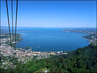
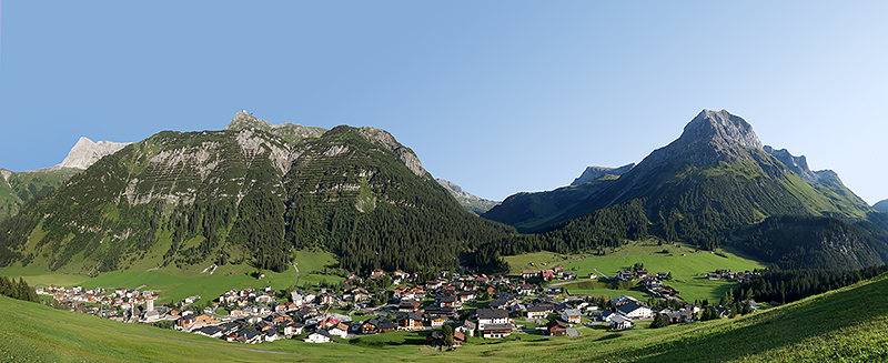
Gesamtstrecke: 13519 m
Maximale Höhe: 1060 m
Gesamtanstieg: 575 m
Gesamtabstieg: -575 m
Gesamtzeit: 04:15:07
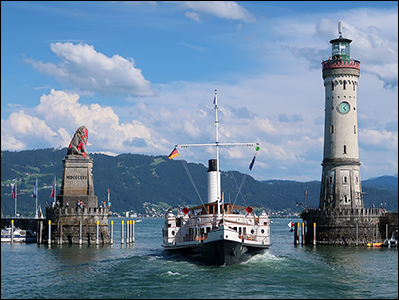
Download file: 2022-06-26-bregenz.gpx

Pertersboden – Gipslöcher – Schlegelkopf – Oberlech – Rudalpe -Lech

Gesamtstrecke: 5988 m
Maximale Höhe: 1932 m
Gesamtanstieg: 100 m
Gesamtabstieg: -568 m
Gesamtzeit: 02:00:09
Download file: 2019-08-29 Petersboden-Gipslocher-Lech.gpx

Gesamtstrecke: 4897 m
Maximale Höhe: 1931 m
Gesamtanstieg: 74 m
Gesamtabstieg: -554 m
Gesamtzeit: 01:31:42
Download file: 2019-09-01 Petersboden-Schlegelkopf-Lech.gpx

Gesamtstrecke: 5362 m
Maximale Höhe: 1917 m
Gesamtanstieg: 48 m
Gesamtabstieg: -518 m
Gesamtzeit: 01:41:05
Download file: 2019-09-03 Pertersboden-Oberlech-Lech.gpx

Jeninser Alp – Ruchenberg – Kamm – Maienfelder Alpe – Fläscher Alp – Radaufis – Fläscher Fürggli – Falknis

Gesamtstrecke: 19068 m
Maximale Höhe: 2525 m
Gesamtanstieg: 1265 m
Gesamtabstieg: -1264 m
Gesamtzeit: 06:07:49
Download file: 2018-10-25 Falknis.gpx

Partnun – Plasseggen – Gruobenpass – Tilisunahütte – Sulzfluh – Gemschtobel – Ganda – Carschinafurgga – Carschina – Meierhofer Älpli – St. Antönien

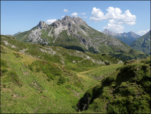
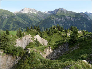
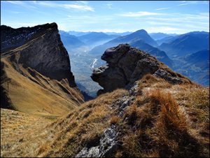
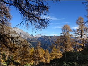
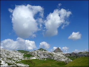
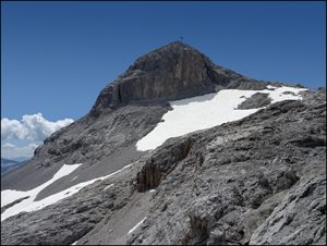
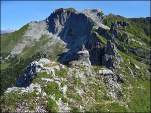
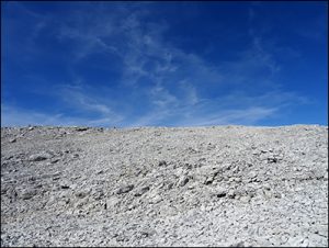
Eine stimmige Runde. Herrliche Karstlandschaften nördlich der Sulzfluh und die Ostseite der Wiss Platte. 


Gesamtstrecke: 25024 m
Maximale Höhe: 2781 m
Gesamtanstieg: 1461 m
Gesamtabstieg: -1803 m
Gesamtzeit: 06:46:09
Download file: 2018-07-18 Sulzfluh.gpx

Saaser Alp – Geisshorn – Saaser Calanda – Rätschenhorn – Gafier Platten – Gafier Joch – Gafiersee – Gargäller Joch – St. Antönier Joch – Riedkopf – Ronggspitz – St. Antönien

Gesamtstrecke: 21140 m
Maximale Höhe: 2682 m
Gesamtanstieg: 1557 m
Gesamtabstieg: -1981 m
Gesamtzeit: 08:43:24
Download file: 2017-08-07 Rätschenhorn.gpx