Gesamtstrecke: 16953 m
Maximale Höhe: 838 m
Gesamtanstieg: 288 m
Gesamtabstieg: -488 m
Gesamtzeit: 04:40:48
Download file: 2023-01-22-Forch.gpx
Maximale Höhe: 838 m
Gesamtanstieg: 288 m
Gesamtabstieg: -488 m
Gesamtzeit: 04:40:48


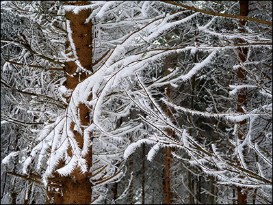
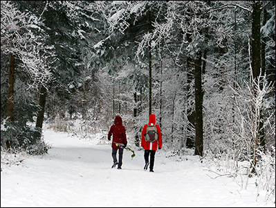
Gemütliche Wanderung auf dem Stuckiweg von der Forch über den Pfannenstiel nach Hombrechtikon.
Gesamtstrecke: 18361 mDownload file: 2020-09-30-Pafannenstiel.gpx
Maximale Höhe: 839 m
Gesamtanstieg: 281 m
Gesamtabstieg: -485 m
Gesamtzeit: 04:00:48