
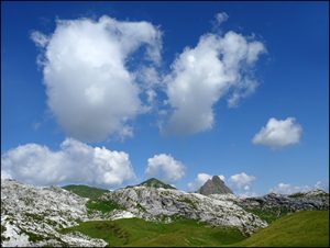
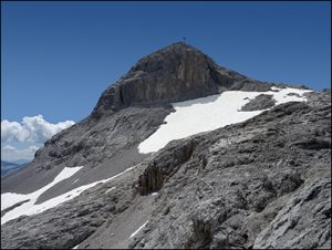
Eine stimmige Runde. Herrliche Karstlandschaften nördlich der Sulzfluh und die Ostseite der Wiss Platte.
Gesamtstrecke: 25024 m
Maximale Höhe: 2781 m
Gesamtanstieg: 1461 m
Gesamtabstieg: -1803 m
Gesamtzeit: 06:46:09
Download file: 2018-07-18 Sulzfluh.gpx
Maximale Höhe: 2781 m
Gesamtanstieg: 1461 m
Gesamtabstieg: -1803 m
Gesamtzeit: 06:46:09